Bunbury Aquatic Use Review
Consultation has concluded

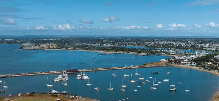
The Department of Transport (DoT) is seeking feedback on proposed changes to aquatic uses within Koombana Bay waters shown in the map below.
Changes are required for the safe use of the waterway with the introduction of the new northern breakwater at Casuarina boat harbour as part of the Transforming Bunbury’s Waterfront project.
The proposed aquatic use changes shown in the map below include the following:
- Minor amendments to the 5 and 8 knot speed restricted areas within and outside the new Casuarina boat harbour, to align with the new northern breakwater boundary to be constructed.
- Reducing the size of the water ski area at the entrance of the new Harbour entry. This is to improve safety for skiers and those navigating the harbour entrance.
- Reopening waters near the Dolphin Discovery Centre for use by kayaks, windsurfers, sailing dinghies and similar craft by implementing a single extended area closed to motorised vessels, which also improves swimmer safety
- Installation of new navigation aids to enhance safety at the new entry to the Casuarina harbour.
- Formalising the closed waters to motorised vessels area within the Casuarina boat harbour at the Jetty Baths to enhance swimmer safety

CLICK HERE to view enlarged map in new tab
DoT values your feedback on the proposals and strongly encourages users to complete a short survey before 15 December 2024.
The survey should take approximately 7 minutes, and your responses will be confidential.
Should you have any trouble viewing the survey please contact Navigational Safety at navigational.safety@transport.wa.gov.au.
![]()
Who's Listening
-
Navigational Safety Team
-
Transforming Bunbury Waterfront

Frequently Asked Questions
Existing and Proposed Aquatic Uses
-
 ALL PROPOSED CHANGES - Aquatic Uses in Koombana Bay (4.44 MB) (png)
-
EXISTING Aquatic Uses in Koombana Bay (3.07 MB) (jpg)
-
PROPOSAL 1- Amended Speed Zones-Existing and Proposed.jpg (4.63 MB) (jpg)
-
PROPOSAL 2 - Water ski area - Existing and Proposed.jpg (5.75 MB) (jpg)
-
PROPOSAL 3 - Amend Closed Waters Near Dolphin Discovery Centre- Existing and Proposed .jpg (5.38 MB) (jpg)
-
PROPOSAL 4 - New Navigation Aids - Existing and Prosposed.jpg (5.29 MB) (jpg)
-
PROPOSAL 5 - Formalise Closed Waters in Casuarina Harbour - Existing and Proposed.jpg (4.15 MB) (jpg)