Share EastLink WA Planning and Development on FacebookShare EastLink WA Planning and Development on X (formerly Twitter)Share EastLink WA Planning and Development on LinkedinEmail EastLink WA Planning and Development link
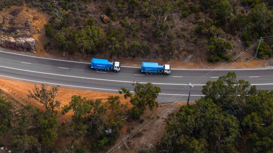
EastLink WA will transform Perth's transport network with significant upgrades to Reid and Roe Highways, and an upgraded and new route to Northam. The project is currently in the planning and development phase. This is the place where we'll engage the community on specific issues and at key milestones.
Thanks for your contributions
Between January and June 2022,the community provided feedback across several aspects of planning with a focus on the access and connectivity of the proposed highway and adjacent road network. We invited feedback on:
What's important to the community through our community survey
The access point locations (Phase 1 interactive map)
Highway connectivity (Phase 2 interactive map); and
How the community use and experience the Kep Track.
Thank you to those who provided feedback here on My Say Transport, in-person at our drop-in sessions and through our project enquiries channels.
We received feedback about a range of factors, reflecting diverse views within the community which is now being considered alongside environmental, heritage, engineering, and land-use constraints and requirements to refine the Access Strategy and ultimate design concepts for the highway.
You can now view the ‘What we’ve heard summary’ on the EastLink WA website which brings together the community insights received through this consultation phase. Here you an also view our latest information sheets which answer some of the community's common questions on the benefits and access and connectivity from EastLink WA.
EastLink WA Planning and Development has finished this stage
Community survey and phase 1: access point locations and movement map are open for feedback. Contributions close 28 February 2022.
March 2022
EastLink WA Planning and Development has finished this stage
Review and consider feedback from community survey and phase 1 of the interactive map.
April 2022
EastLink WA Planning and Development has finished this stage
Phase 2: connectivity map open for comment. More detail will be shared about the form of each intersection and interchange, locations of service roads, proposed cul-de-sacs and access and egress for bushfire prone areas.
June 2022
EastLink WA Planning and Development has finished this stage
Phase 2: Highway connectivity interactive map and Kep Track survey closed for comment on 30 June 2022.
July 2022
EastLink WA Planning and Development has finished this stage
We'll review and consider feedback received from the community survey, phase 1 and 2 interactive maps and Kep Track user survey. This will be used to inform the refinement of the Access Strategy and environmental referral footprint for the highway.
November 2022
EastLink WA Planning and Development is currently at this stage